GEOMATICS SERVICES
In the Oil and Gas sector, decisions concerning worker safety, asset protection, operational activities, and environmental protection are usually made on the basis of having extensive, accurate, consistent, and current information about our operating sites and regions of interest. Geomatics is a field that integrates surveying, positioning, and geospatial data management to provide precise positioning and mapping support throughout the life cycle of oil and gas.
Oil and Gas well staking, well location pad layout surveys, road layout surveys, geodetic control surveys, and as-built surveys are just a few of the geomatics services we provide. We also have experience in topographic surveys and terrain modeling, as well as construction and consultant surveys.
OUR SURVEYING SERVICES INCLUDE
SUBDIVISION SURVEY
LANDSCAPE SURVEY
OVERHEAD TRANSMISSION LINES SURVEY
FLOOD DAMAGE ASSESSMENT SURVEY
REGIONAL SURVEY
GEOGRAPHIC INFORMATION SYSTEMS(G.I.S)
UTILITY SURVEY
QUANTITY SURVEY
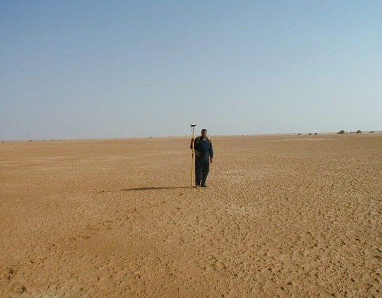
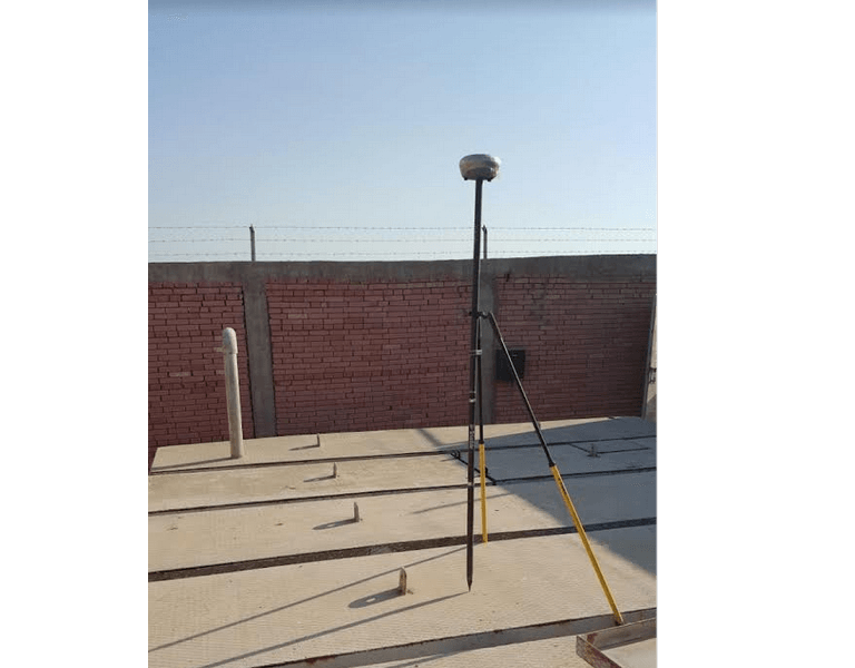
GPS SURVEY
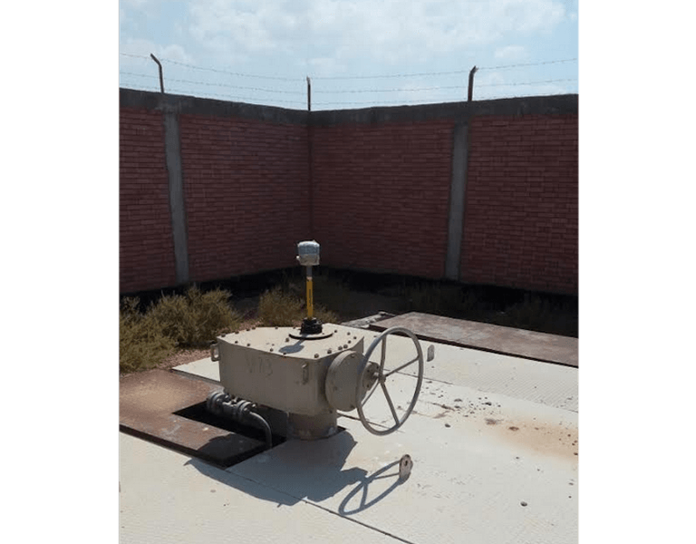
WELL STAKING SURVEY
HYDROLOGY SURVEY
ASSET MANAGEMENT SURVEY
OIL/GAS WELL STAKING
OIL/GAS WELL LOCATION PAD LAYOUT SURVEYS
ROAD LAYOUT SURVEYS
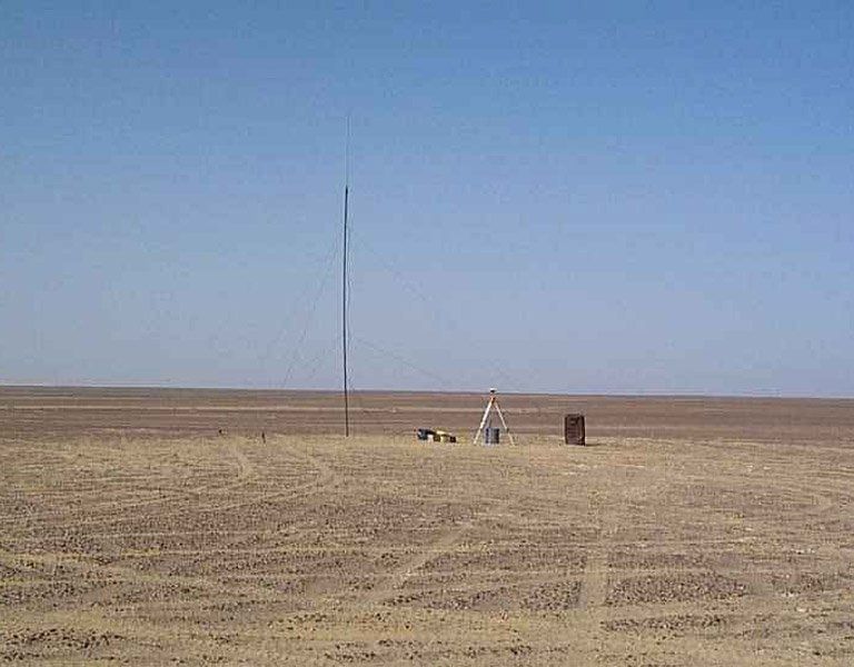
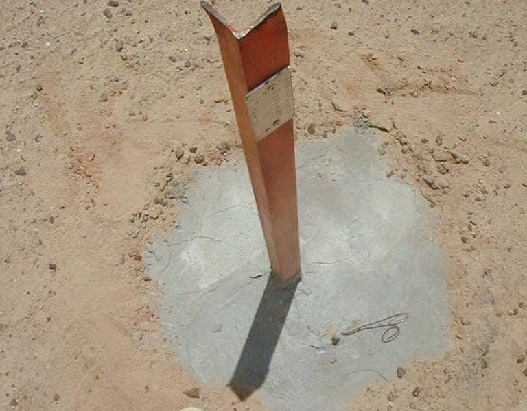
GEODETIC CONTROL SURVEYS
CONSULTANT SURVEY
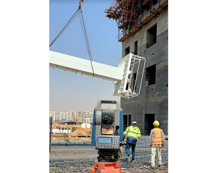
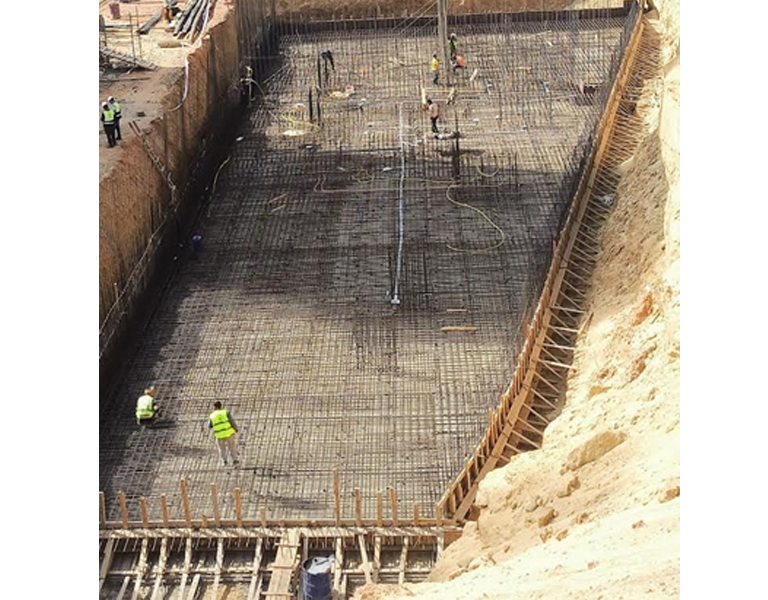
CONSTRUCTION SURVEY
TOPOGRAPHIC SURVEY AND TERRAIN MODELING
AS BUILT SURVEY
GEODETIC SURVEY
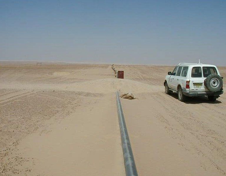
PIPELINE ROUTE SURVEY
PIPELINE RIGHT-OF-WAY STAKING